Οι καλύτερες διαδρομές και πεζοπορίες okres Myjava
4,5
(16)
293
Πεζοπόροι
28
Πεζοπορίες
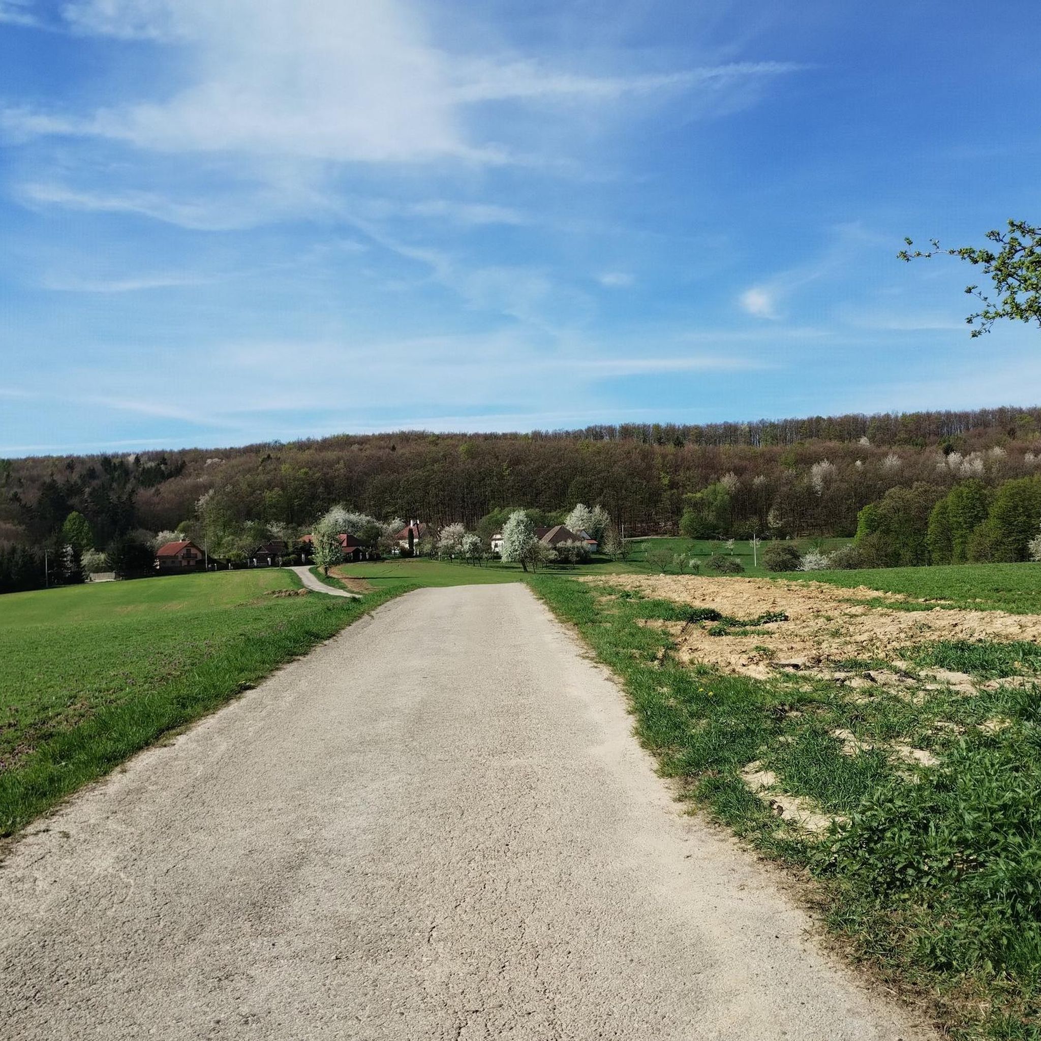
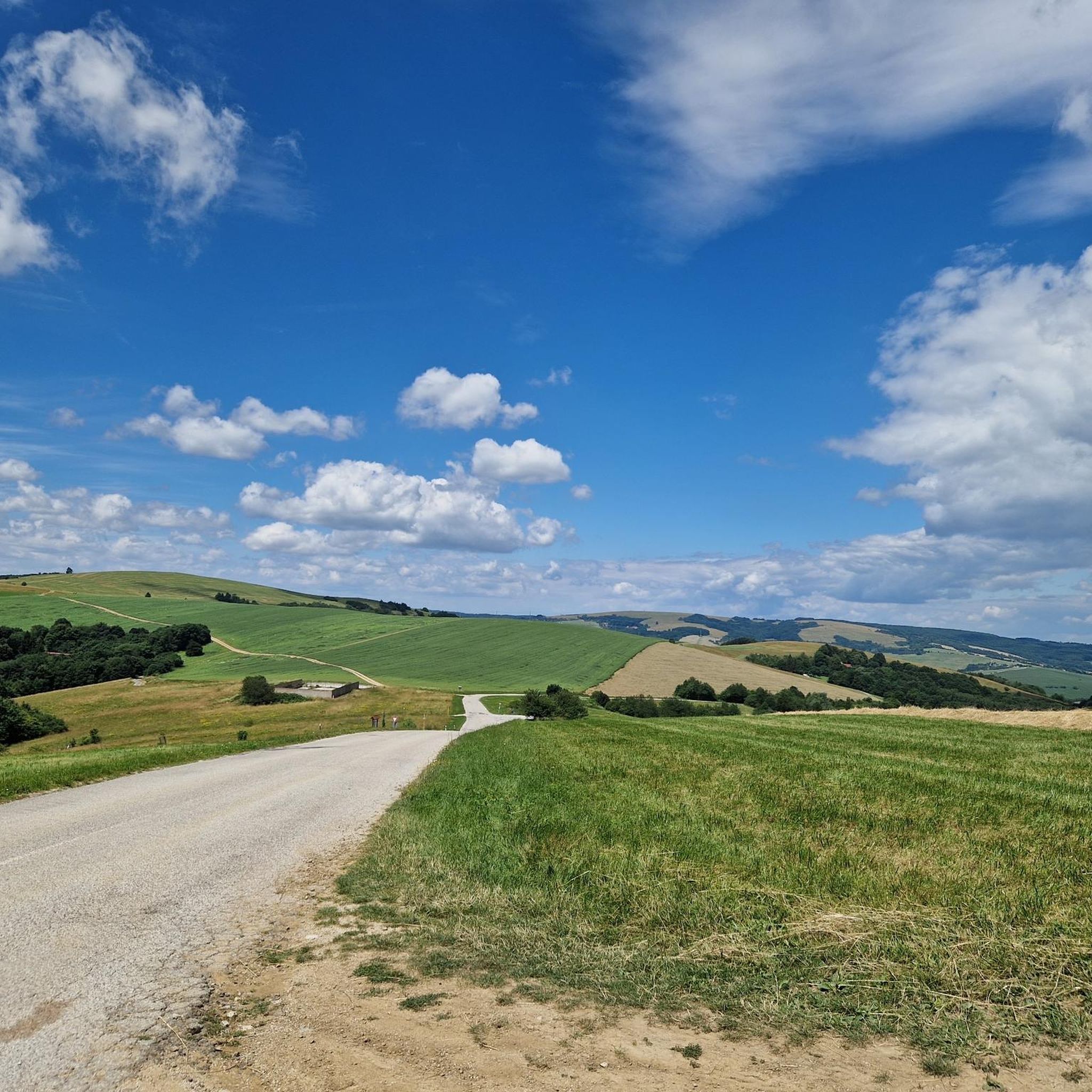
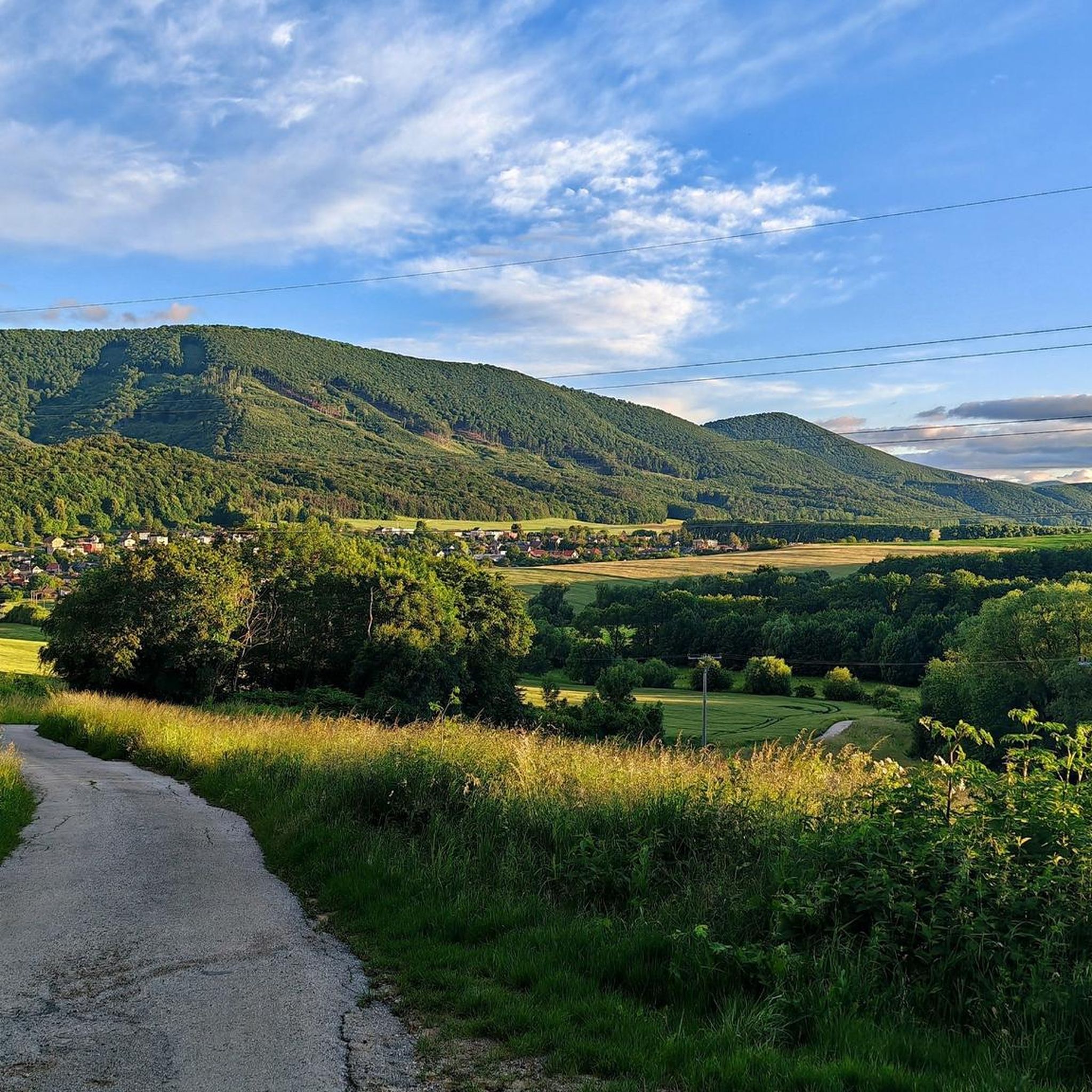
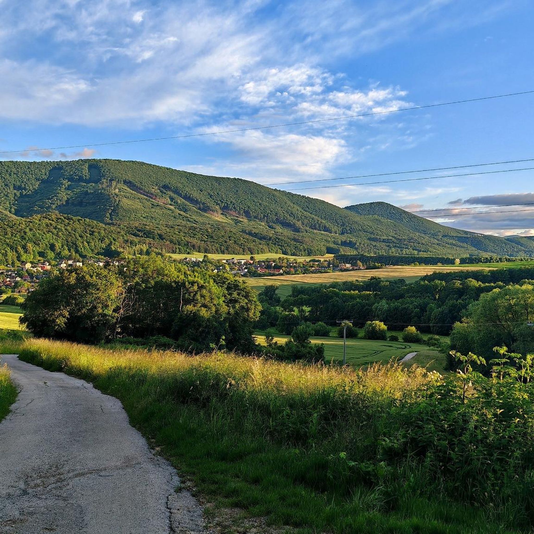
Η πεζοπορία γύρω από το okres Myjava προσφέρει ποικίλα τοπία, από απαλά κυματιστούς λόφους έως πιο δύσκολο έδαφος στα Λευκά Καρπάθια. Η περιοχή χαρακτηρίζεται από τους λόφους Myjava (Myjavská pahorkatina), με πλούσια δάση, γαλήνια λιβάδια και διάσπαρτες αγροτικές κατοικίες. Οι πεζοπόροι μπορούν να εξερευνήσουν ένα δίκτυο μονοπατιών που διασχίζουν αυτήν την ποικίλη τοπογραφία, οδηγώντας συχνά σε ιστορικά μνημεία όπως ερείπια κάστρων.
Καλύτερες διαδρομές πεζοπορίας στο okres Myjava
- Η πιο δημοφιλής διαδρομή πεζοπορίας είναι ο κυκλικός δρόμος Kobyla – Výzkum από…
Τελευταία ενημέρωση: 5 Οκτωβρίου 2026
5,0
(2)
20
Πεζοπόροι
13,3km
03:49
320m
320m
Μέτρια πεζοπορία. Απαιτείται καλή φυσική κατάσταση. Εύκολα προσβάσιμα μονοπάτια. Κατάλληλο για όλα τα επίπεδα δεξιοτήτων.
4,0
(2)
10
Πεζοπόροι
7,92km
02:16
190m
190m
Μέτρια πεζοπορία. Απαιτείται καλή φυσική κατάσταση. Εύκολα προσβάσιμα μονοπάτια. Κατάλληλο για όλα τα επίπεδα δεξιοτήτων.

5,0
(1)
18
Πεζοπόροι
7,86km
02:21
250m
250m
Μέτρια πεζοπορία. Απαιτείται καλή φυσική κατάσταση. Εύκολα προσβάσιμα μονοπάτια. Κατάλληλο για όλα τα επίπεδα δεξιοτήτων.
13
Πεζοπόροι
Μέτρια πεζοπορία. Απαιτείται καλή φυσική κατάσταση. Εύκολα προσβάσιμα μονοπάτια. Κατάλληλο για όλα τα επίπεδα δεξιοτήτων.
11
Πεζοπόροι
Εύκολη πεζοπορία. Κατάλληλο για όλα τα επίπεδα φυσικής κατάστασης. Εύκολα προσβάσιμα μονοπάτια. Κατάλληλο για όλα τα επίπεδα δεξιοτήτων.
6
Πεζοπόροι
Μέτρια πεζοπορία. Απαιτείται καλή φυσική κατάσταση. Εύκολα προσβάσιμα μονοπάτια. Κατάλληλο για όλα τα επίπεδα δεξιοτήτων.
5,0
(1)
10
Πεζοπόροι
3,59km
01:02
90m
90m
Εύκολη πεζοπορία. Κατάλληλο για όλα τα επίπεδα φυσικής κατάστασης. Εύκολα προσβάσιμα μονοπάτια. Κατάλληλο για όλα τα επίπεδα δεξιοτήτων.
7
Πεζοπόροι
Εύκολη πεζοπορία. Κατάλληλο για όλα τα επίπεδα φυσικής κατάστασης. Εύκολα προσβάσιμα μονοπάτια. Κατάλληλο για όλα τα επίπεδα δεξιοτήτων.
5
Πεζοπόροι
6,19km
01:46
150m
150m
Εύκολη πεζοπορία. Κατάλληλο για όλα τα επίπεδα φυσικής κατάστασης. Εύκολα προσβάσιμα μονοπάτια. Κατάλληλο για όλα τα επίπεδα δεξιοτήτων.
3,0
(2)
7
Πεζοπόροι
12,5km
03:33
280m
280m
Μέτρια πεζοπορία. Απαιτείται καλή φυσική κατάσταση. Εύκολα προσβάσιμα μονοπάτια. Κατάλληλο για όλα τα επίπεδα δεξιοτήτων.
Πάρε πρόσβαση σε περισσότερες διαδρομές και προτάσεις από άλλους εξερευνητές.
Έχεις ήδη λογαριασμό;
Οι προτάσεις διαδρομών μας βασίζονται σε χιλιάδες πεζοπορίες, ποδηλασίες και τρεξίματα που ολοκληρώθηκαν από άλλους χρήστες στο komoot.
Ξεκίνα σήμερα με έναν δωρεάν λογαριασμό
Η επόμενη περιπέτειά σου σε περιμένει.
Συμβουλές από την κοινότητα

Images from a computer-generated 3D reconstruction of the presumed appearance of the Church and Monastery of St. Catherine during its final construction phase at the end of the 18th century. The monastery consisted of a church and monastic buildings with a ground plan based on two quadrangles, each with a square courtyard. The smaller courtyard, closer to the church, served as the Paradise Court, around which the monastery buildings were grouped. The larger courtyard was surrounded by outbuildings and the novitiate. The church tower, with its onion dome and stone statues of four Franciscan saints at its corners, dominated the townscape. These statues have been located at the Pálffy tomb in Smolenice since 1905. Access to the church was through profiled stone portals, similar to those at the main entrance of the monastery. The simple, mostly smooth facades were articulated by white bands that contrasted with the gray plaster. The roofs were covered with fired tiles.
0
0
According to Komoot, there's a path here, but it's barely recognizable due to the amount of deadwood. It's quite fun for young people to climb over the many logs. Probably not recommended for older people.
0
0

Milan Rastislav Štefánik Hill is located on Bradlo Hill, which rises at an altitude of 543 m between the town of Brezová pod Bradlom and the village of Košariská. The hill is 96 m long and 70 m wide. Its lower terrace, which measures 93 mx 62 m and has two stairs, is closed off in the corners by fire chambers. On the upper terrace, which is 45 mx 32 m in size and also has two stairs, there are four 12.5 m high obelisks. The obelisks symbolize the four victims of the plane crash and at the same time the four countries in which Štefánik was active. The top of the hill is formed by a grave (tombstone) and there are inscriptions on its sides.
0
0
Milan Rastislav Štefánik Hill is located on Bradlo Hill, which rises at an altitude of 543 m between the town of Brezová pod Bradlom and the village of Košariská. The hill is 96 m long and 70 m wide. Its lower terrace, which measures 93 mx 62 m and has two stairs, is closed off in the corners by fire chambers. On the upper terrace, which is 45 mx 32 m in size and also has two stairs, there are four 12.5 m high obelisks. The obelisks symbolize the four victims of the plane crash and at the same time the four countries in which Štefánik was active. The top of the hill is formed by a grave (tombstone) and there are inscriptions on its sides
1
0

Very old cemetery next to the path to Dobra Voda Castle
0
0
Οι πιο δημοφιλείς διαδρομές okres Myjava
Τα πιο δημοφιλή αξιοθέατα okres Myjava

Εμπνεύσου με την εφαρμογή komoot για κινητά


Δεν βρήκες αυτό που ψάχνεις;
Δες περισσότερα Πεζοπορίες σε όλη την περιοχή okres Myjava παρακάτω και βρες την τέλεια διαδρομή στον προορισμό σου.
Ανακάλυψε περισσότερα
Περιηγήσου τα καλύτερα Πεζοπορίες σε άλλες περιοχές.
