Οι 10 πιο εκπληκτικές κορυφές Bad Bertrich
Οι καλύτερες ορεινές κορυφές γύρω από το Bad Bertrich βρίσκονται στην Ηφαιστειακή Άιφελ, μια οροσειρά που χαρακτηρίζεται από τους κυματιστούς λόφους και το ηφαιστειακό της τοπίο. Αυτά τα υψώματα χρησιμεύουν ως δημοφιλείς προορισμοί πεζοπορίας, προσφέροντας εκτεταμένες πανοραμικές θέες των γύρω κοιλάδων και ποταμών. Η περιοχή προσφέρει έναν μοναδικό συνδυασμό γεωλογικής ιστορίας, ποτάμιων τοπίων και δασών της Άιφελ, καθιστώντας την ένα σημαντικό μέρος για υπαίθριες εξερευνήσεις.
Καλύτερες ορεινές κορυφές γύρω από το Bad Bertrich
- Η πιο δημοφιλής ορεινή κορυφή είναι το…
Τελευταία ενημέρωση: 1 Νοεμβρίου 2026
View of the Moselle Loop from Calmont Summit Cross
Highlight • Σημείο θέας
Μετάφραση από Google •
Συμβουλή από

Panoramic View of the Moselle Bend Below the Calmont Summit
Highlight • Σημείο θέας
Μετάφραση από Google •
Συμβουλή από

Εγγράψου τώρα για να ανακαλύψεις μέρη σαν αυτό
Λάβε προτάσεις για τα καλύτερα single tracks, κορυφές και πολλά ακόμα συναρπαστικά υπαίθρια μέρη.
Todesangst Viewpoint
Highlight • Σημείο θέας
Μετάφραση από Google •
Συμβουλή από
View of the Moselle River and Neef from Petersberg
Highlight • Σημείο θέας
Μετάφραση από Google •
Συμβουλή από

Neijaburja Kopp 🌄🏔️🤓 #Hausberg #Gipfel 🚵♂️🏃♂️❤️
Highlight • Σημείο θέας
Μετάφραση από Google •
Συμβουλή από

Εγγράψου δωρεάν για να ανακαλύψεις ακόμα περισσότερες κορυφές Bad Bertrich.
Έχεις ήδη λογαριασμό;
Ξεκίνα σήμερα με έναν δωρεάν λογαριασμό
Η επόμενη περιπέτειά σου σε περιμένει.
Δημοφιλή γύρω από Bad Bertrich
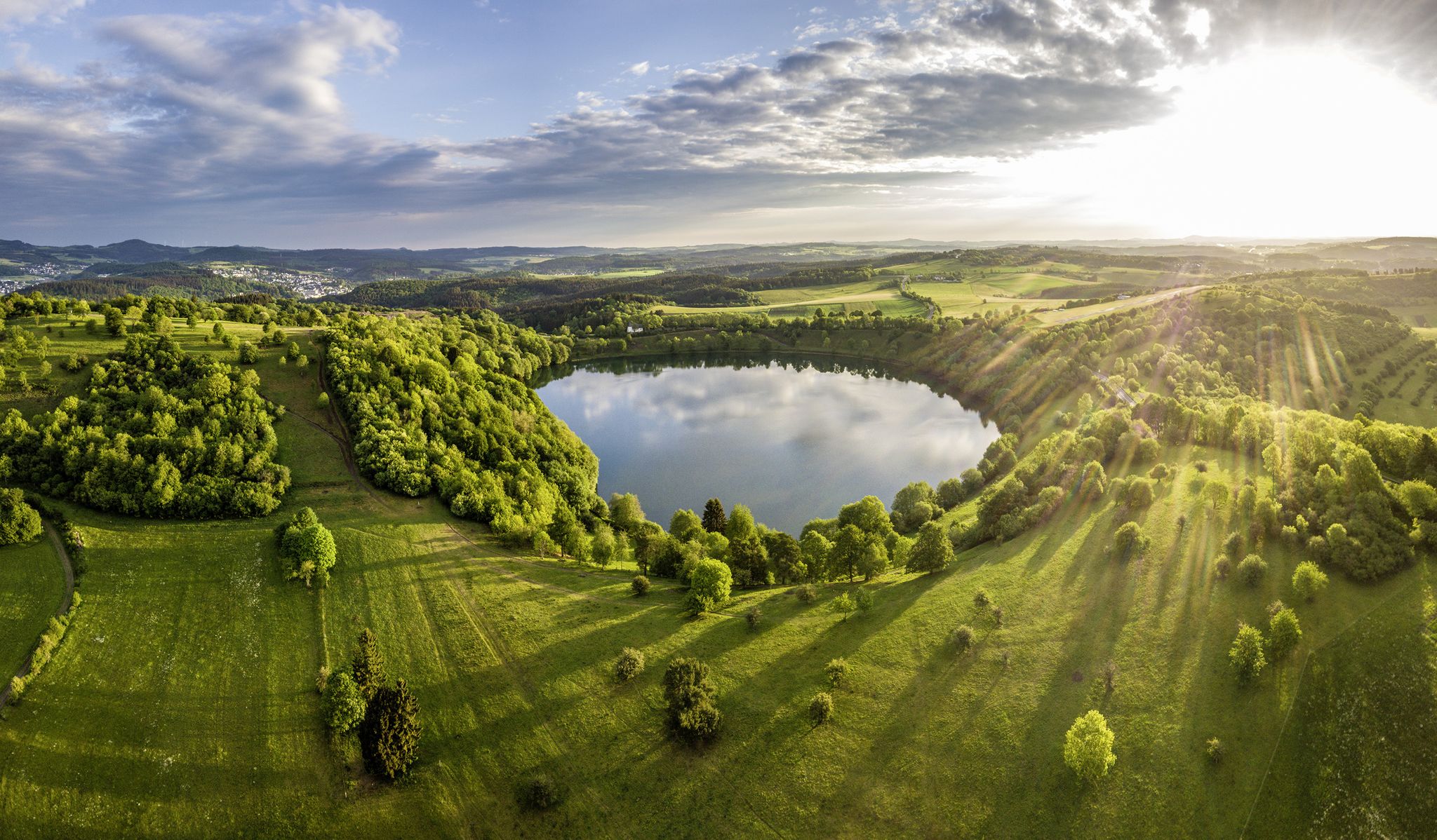
Germany’s Most Beautiful Hiking Trails in the Vulkaneifel
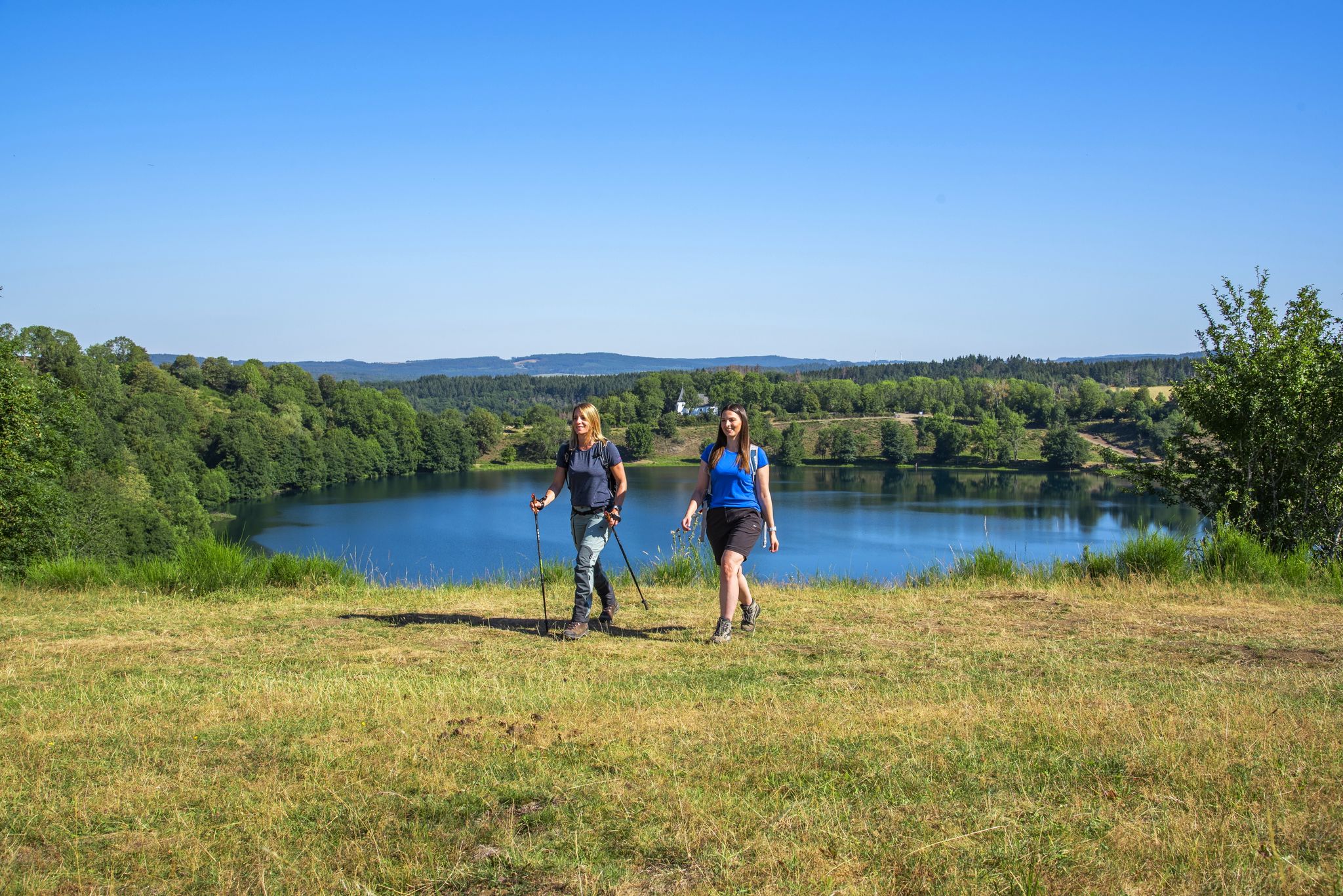
Excellent paths in the Vulkaneifel – Explore the HeimatSpuren
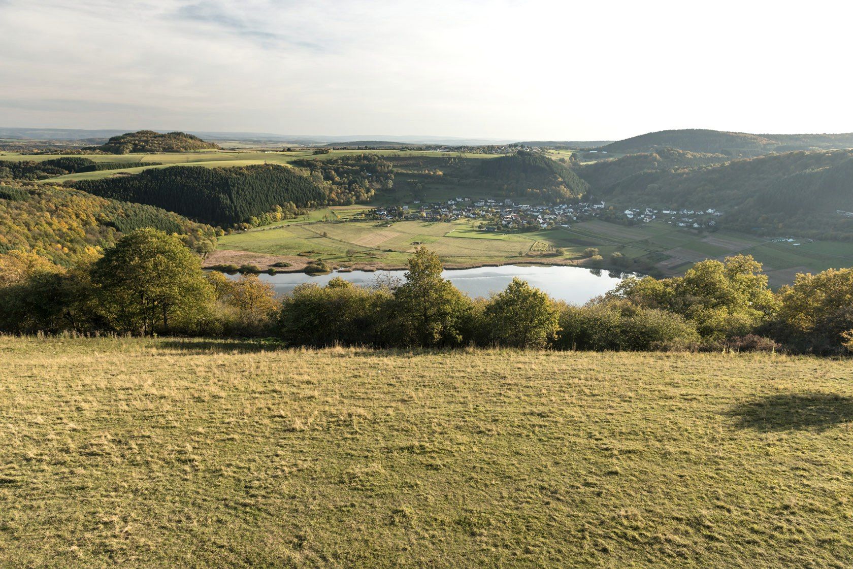
Crater lakes and lava rock – hiking in Germany’s Volcanic Eifel
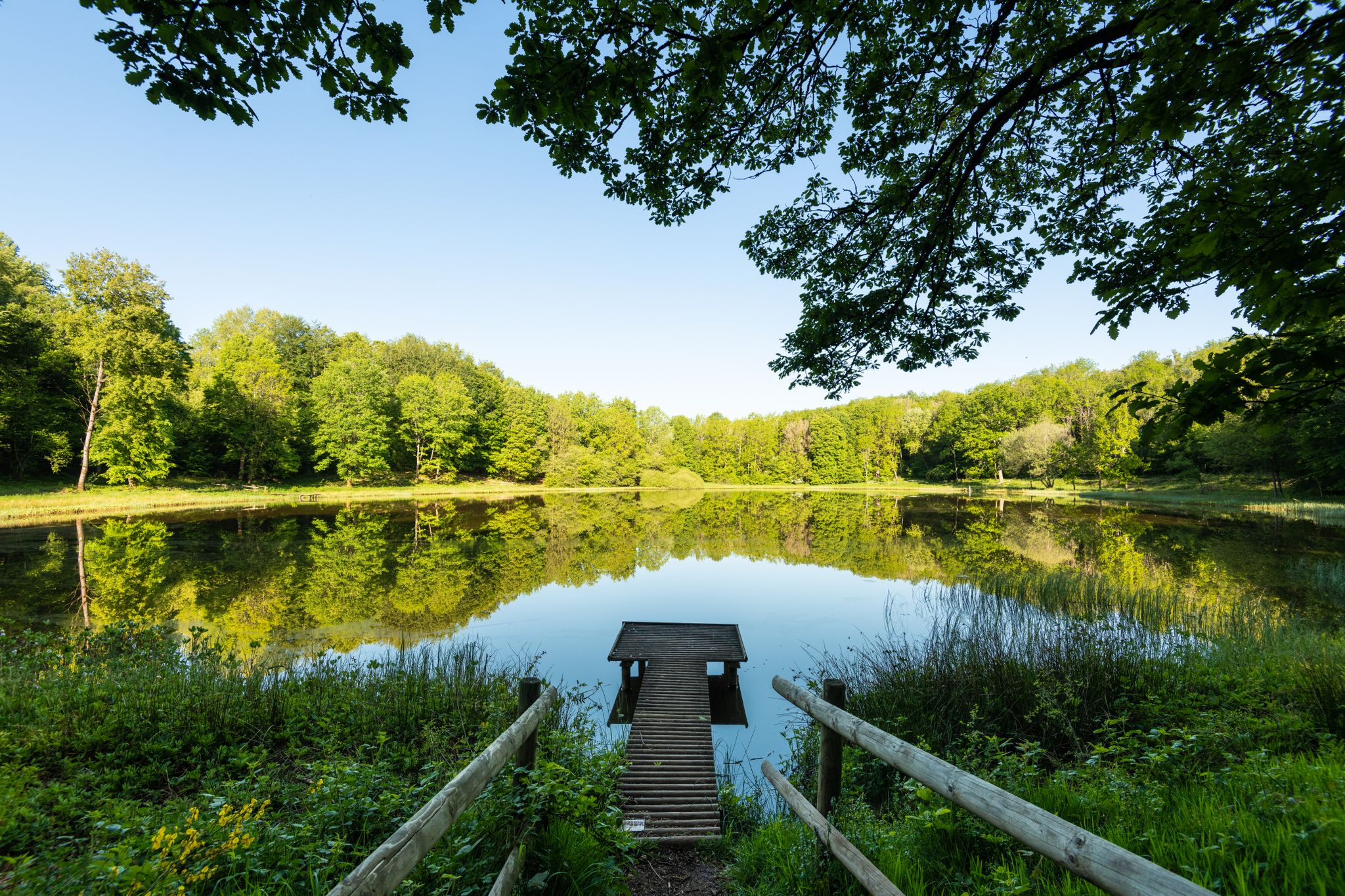
Award-winning hikes – explore the Volcanic Eifel on acclaimed trails
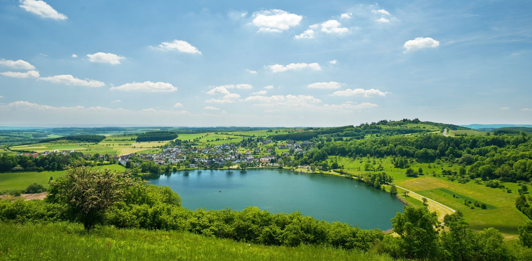
Lava pits & fairytale lakes – hiking through Vulkaneifel in Germany
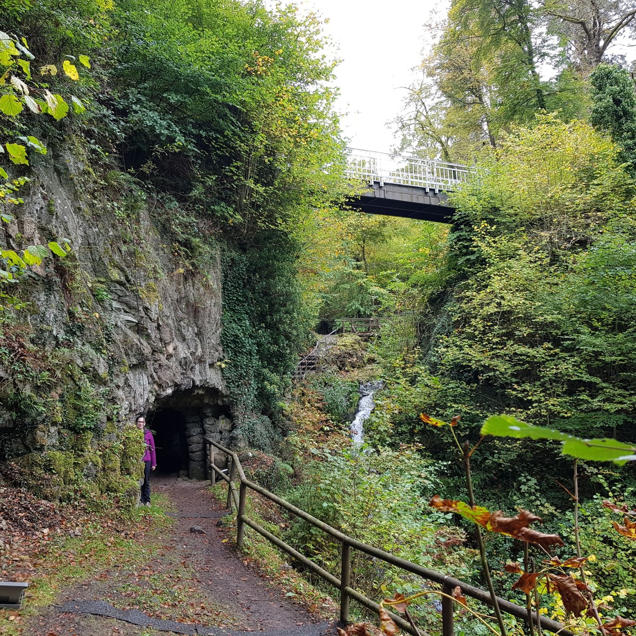
Πεζοπορία Bad Bertrich
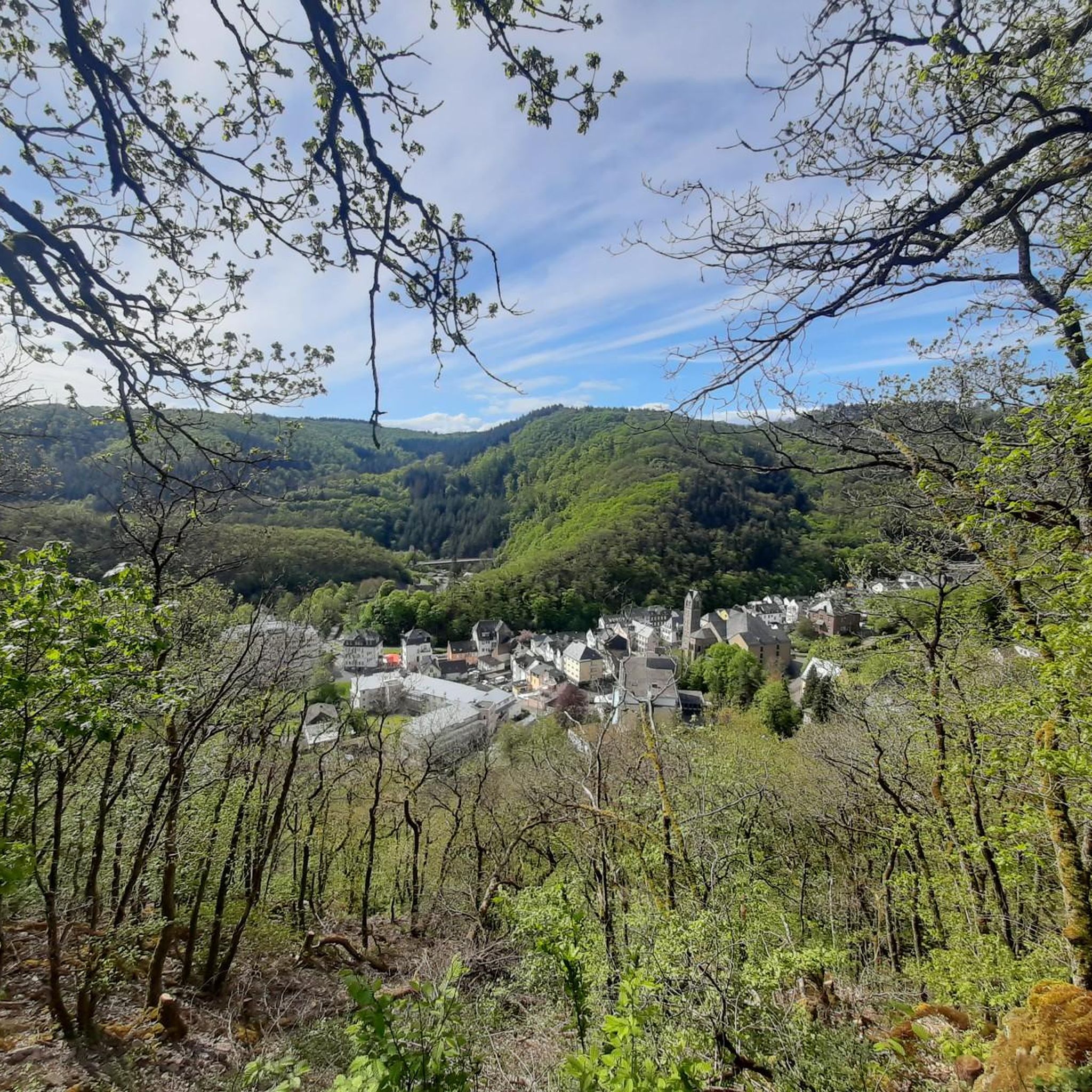
MTB μονοπάτια Bad Bertrich
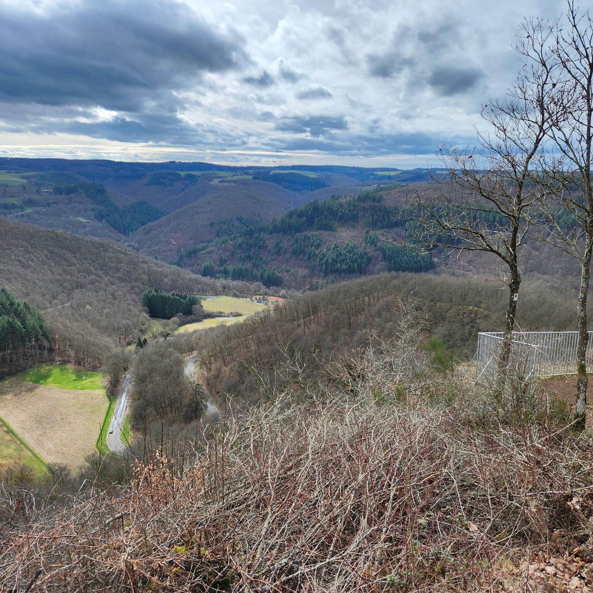
Ποδηλατικές διαδρομές Bad Bertrich
Διαδρομές ποδηλασίας Bad Bertrich
Διαδρομές τρεξίματος Bad Bertrich
Άλλες περιπέτειες Bad Bertrich


Συμβουλές από την κοινότητα

Το Neuerburger Kopf είναι ένα ηφαίστειο που εξερράγη πριν από 10 εκατομμύρια χρόνια. Στην κορυφή υπάρχει ένα καταφύγιο. Κάτω από την κορυφή υπάρχει ένας τόπος προσευχής (σταυρός) στη φύση.
0
0

Trail up to the cross, then a final sprint and then back down the wide path with the great view. Fun! 🌄🏃♂️📯
1
0

Great to ride up on a mountain bike. But it's better to push the last 10m
2
0

Please be kind, there is an official Moselle webcam up here that sends pictures to the Internet, so smile 😀
3
0

The volcanic cone was formed 108 million years ago. Magma penetrated the Devonian sandstone layers and solidified below the earth's surface. This passage or chimney made of hard basalt protected the surrounding sandstone from erosion, leaving the conical shape of the Neuerburger Kopf, which is still clearly visible today. Classified as belonging to the Cretaceous period, the Neuerburger Kopf and the neighboring Lüxeberg are the oldest volcanic features in the Eifel. The Neuerburger Kopf was formerly called Merkuriusberg (Mercurius, Roman god of trade). The former name is explained by the Roman trade and military roads that crossed next to it. The current name refers to a castle. Archbishop Albero (1131-1152) had a "novum castrum" (= new castle) built, which was completed in 1168 by Archbishop Hillin and expanded by Archbishop Henry II (1260-1286). The castle was used primarily to collect customs duties on the neighboring trade route and was one of the seven castles of the Electorate of Trier, along with Manderscheid, Arras, Saarburg, Grimburg, Welschbillig and Ehrenbreitstein. The last inhabitants of Hatzdorf, which had been ravaged by the plague and abandoned, settled under the protection of the castle and founded the village of Neuerburg. Neuerburg Castle was most likely destroyed in 1689 by the French Marshal François de Créquy, who also had Wittlich destroyed from Mont Royal. Today only a few remains of the walls can be found.
2
0

From this vantage point you have one of the best valley views of the Moselle loop.
76
0
The Calmont is a prominent peak on the Moselle. The highest elevation is 380 meters high. Interestingly, the Calmont summit cross is not at the highest point, but below it. This may be because the Calmont is a ridge above the Moselle. The location of the summit cross offers a prominent view of the Moselle - better than from the highest point. Therefore, the summit cross makes much more sense at this point. Source: https://www.calmont-klettersteig-moselschleife.de/calmont/
78
0
A covered, clean rest area with a great view again.
57
1
Οι πιο δημοφιλείς διαδρομές Bad Bertrich
Τα πιο δημοφιλή αξιοθέατα Bad Bertrich

Εμπνεύσου με την εφαρμογή komoot για κινητά


Ανακάλυψε περισσότερα
Δες ακόμα περισσότερες εκπληκτικές κορυφές Bad Bertrich με αυτούς τους οδηγούς:
