Οι καλύτερες διαδρομές τρεξίματος Sørmarka
4,3
(127)
6.314
Δρομείς
304
Διαδρομές τρεξίματος
Το τρέξιμο Sørmarka είναι ένας από τους καλύτερους τρόπους να εξερευνήσετε περισσότερο αυτή την περιοχή. Για να σας βοηθήσουμε να ανακαλύψετε τις πιο όμορφες διαδρομές τρεξίματος, εξετάσαμε ολόκληρη τη συλλογή μας Sørmarka — και σας παρουσιάζουμε τις καλύτερες διαδρομές τρεξίματος. Κάντε κλικ σε οποιαδήποτε διαδρομή για περισσότερες λεπτομέρειες και δείτε πραγματικές συμβουλές και φωτογραφίες από άλλους δρομείς.
Τελευταία ενημέρωση: 4 Οκτωβρίου 2026
17
Δρομείς
10,6km
01:07
60m
60m
Μέτριο τρέξιμο. Απαιτείται καλή φυσική κατάσταση. Κυρίως ασφαλτοστρωμένες επιφάνειες. Κατάλληλο για όλα τα επίπεδα δεξιοτήτων.
2,0
(1)
10
Δρομείς
Μέτριο τρέξιμο. Απαιτείται καλή φυσική κατάσταση. Κυρίως ασφαλτοστρωμένες επιφάνειες. Κατάλληλο για όλα τα επίπεδα δεξιοτήτων.

13
Δρομείς
8,67km
00:55
80m
80m
Μέτριο τρέξιμο. Απαιτείται καλή φυσική κατάσταση. Κυρίως ασφαλτοστρωμένες επιφάνειες. Κατάλληλο για όλα τα επίπεδα δεξιοτήτων.
8
Δρομείς
5,82km
00:39
150m
150m
Μέτριο τρέξιμο. Απαιτείται καλή φυσική κατάσταση. Κυρίως ασφαλτοστρωμένες επιφάνειες. Κατάλληλο για όλα τα επίπεδα δεξιοτήτων.
6
Δρομείς
5,47km
00:37
120m
120m
Μέτριο τρέξιμο. Απαιτείται καλή φυσική κατάσταση. Κυρίως ασφαλτοστρωμένες επιφάνειες. Κατάλληλο για όλα τα επίπεδα δεξιοτήτων.
Πάρε πρόσβαση σε περισσότερες διαδρομές και προτάσεις από άλλους εξερευνητές.
Έχεις ήδη λογαριασμό;
Οι προτάσεις διαδρομών μας βασίζονται σε χιλιάδες πεζοπορίες, ποδηλασίες και τρεξίματα που ολοκληρώθηκαν από άλλους χρήστες στο komoot.
Ξεκίνα σήμερα με έναν δωρεάν λογαριασμό
Η επόμενη περιπέτειά σου σε περιμένει.
Δημοφιλή γύρω από Sørmarka
Συμβουλές από την κοινότητα

Mosvatnet is a shallow lake located just west of Stavanger city center, acting as a green oasis in the urban area. It is widely known for its rich birdlife, making it an interesting spot for birdwatching while you circle the water. The surrounding park connects directly to the Vålandsskogen forest and the Stavanger Art Museum.
0
0
The trail around Mosvatnet is a popular 3-kilometer loop located just outside Stavanger city center. This flat, gravel path is perfect for an easy walk, a morning run, or a relaxed bike ride. Known locally as "Mosikken," the area is famous for its rich birdlife. You can easily extend your trip into the nearby Vålandsskogen forest or stop by the Stavanger Art Museum along the way.
0
0
Located on the western shore of Lake Mosvatnet, the Stavanger Art Museum is a cultural stop easily accessible from the lakeside trail. The building itself is integrated into the surrounding parkland. Inside, you can see a significant collection of Norwegian art. It is a good place to take a break and visit the museum café.
0
0

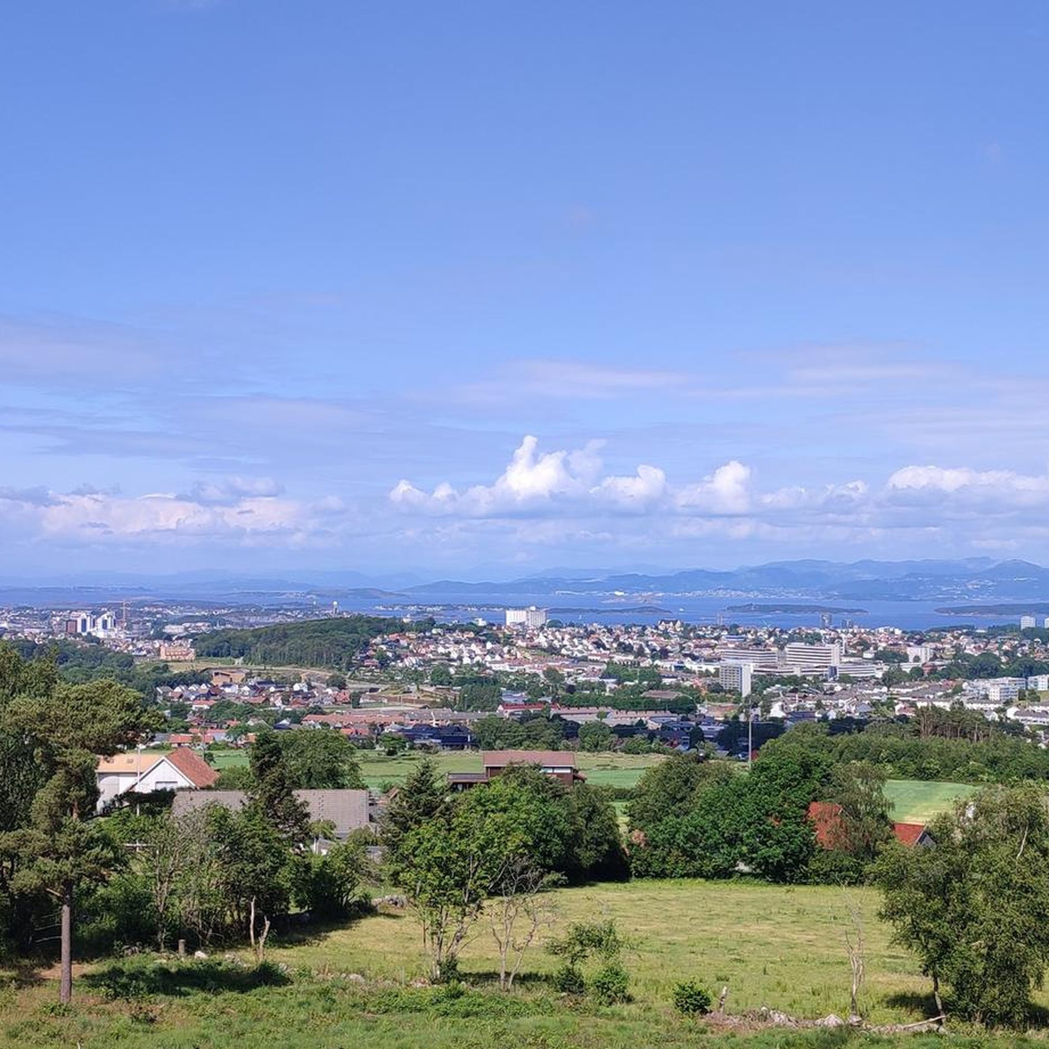
Sørmark is the largest continuous recreational area in the Stavanger city, situated about 5 km south of the center. It hosts the Sørmarka Arena, a major multi-purpose facility that includes a speed skating oval, an ice hockey rink, curling rinks, and one of Norway's tallest indoor climbing walls.
0
0

Here at Hafrsfjord is the royal monument Sverd i fjell (Swords in the Rock). History tells that Harald Fairhair united Norway into a kingdom here in 872. If the tradition is correct, Harald I received the nickname Fairhair because he only had his hair and beard cut again after defeating the other rulers. The monument consists of three swords stuck in the ground, symbolizing peace, unity, and freedom. The hilts of the Viking swords are modeled after sword finds from various parts of Norway. The monument was designed by Fritz Røed (1928-2002) and inaugurated by King Olav in 1983. (Height of the middle sword = 9.2 m) Source: www.visitnorway.de Anyone interested in the history of Harald I is highly recommended to visit Avaldsnes.
0
0

Good route for walking or running
0
0

Swords in the Mountain (Norwegian: Sverd i Fjell) is a monument in the Norwegian city of Stavanger. It commemorates the Battle of Hafrsfjord in 872, as a result of which Harald Fairhair became the first king of Norway, and is a symbol of the resulting national unification of Norway. 📜 wikipedia
0
0
Οι πιο δημοφιλείς διαδρομές Sørmarka

Εμπνεύσου με την εφαρμογή komoot για κινητά


Ανακάλυψε περισσότερα
Περιηγήσου τα καλύτερα Διαδρομές & διαδρομές για τρέξιμο σε άλλες περιοχές.
