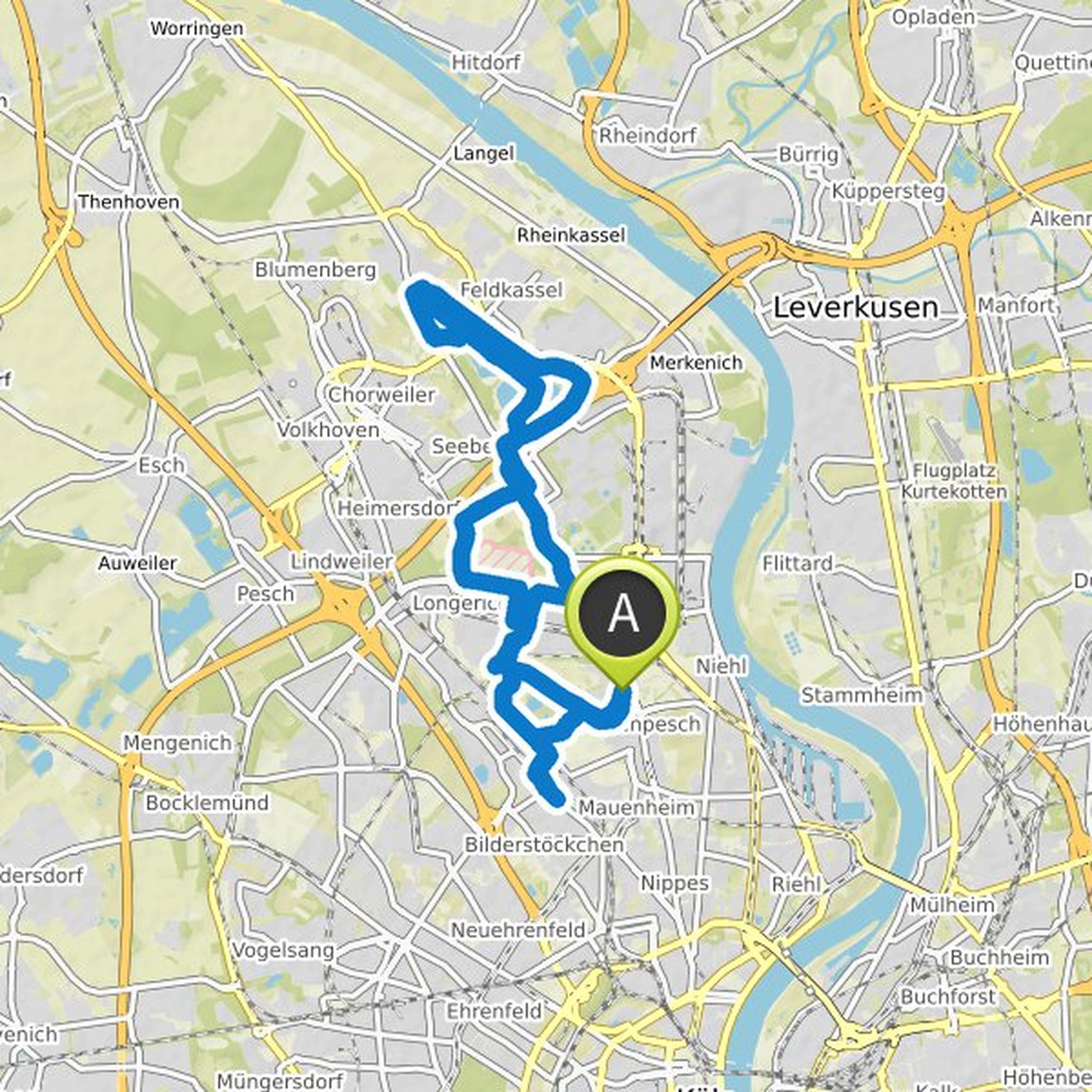
Touren

Planer

Features

Updates

App

Anmelden oder Registrieren

Lade die App herunter

Anmelden oder Registrieren

Simon

Follower

0

Folgt

0

Folgen

Chronik

hat eine Wanderung geplant

19. Januar 2024

Dauer

2Std25M

Distanz

8,63km

Geschwindigkeit

3,6km/h

Aufstieg

170m

Abstieg

170m
map_image
Map data © OpenStreetMap-Mitwirkende

hat eine Wanderung geplant

9. Oktober 2022

Dauer

2Std49M

Distanz

10,7km

Geschwindigkeit

3,8km/h

Aufstieg

90m

Abstieg

90m
map_image
Map data © OpenStreetMap-Mitwirkende

hat eine Wanderung geplant

9. Oktober 2022

Dauer

2Std49M

Distanz

10,7km

Geschwindigkeit

3,8km/h

Aufstieg

90m

Abstieg

90m
map_image
Map data © OpenStreetMap-Mitwirkende

hat eine Wanderung geplant

19. Juli 2022

Dauer

3Std52M

Distanz

13,8km

Geschwindigkeit

3,6km/h

Aufstieg

260m

Abstieg

270m
map_image
Map data © OpenStreetMap-Mitwirkende

hat eine Wanderung geplant

30. April 2022

Dauer

2Std50M

Distanz

10,8km

Geschwindigkeit

3,8km/h

Aufstieg

90m

Abstieg

90m
map_image
Map data © OpenStreetMap-Mitwirkende

hat eine Wanderung geplant

11. April 2022

Dauer

3Std12M

Distanz

12,4km

Geschwindigkeit

3,9km/h

Aufstieg

60m

Abstieg

60m
map_image
Map data © OpenStreetMap-Mitwirkende

hat eine Wanderung geplant

10. Dezember 2021

Dauer

2Std04M

Distanz

6,50km

Geschwindigkeit

3,2km/h

Aufstieg

270m

Abstieg

270m
map_image
Map data © OpenStreetMap-Mitwirkende

hat eine Radtour geplant

12. Juni 2021

Dauer

2Std18M

Distanz

39,2km

Geschwindigkeit

17,0km/h

Aufstieg

90m

Abstieg

90m
map_image
Map data © OpenStreetMap-Mitwirkende

hat eine Radtour geplant

12. Juni 2021

Dauer

1Std43M

Distanz

29,1km

Geschwindigkeit

17,0km/h

Aufstieg

60m

Abstieg

60m
map_image
Map data © OpenStreetMap-Mitwirkende

hat eine Radtour geplant

7. Juni 2021

Dauer

3Std18M

Distanz

55,8km

Geschwindigkeit

16,9km/h

Aufstieg

200m

Abstieg

200m
map_image
Map data © OpenStreetMap-Mitwirkende

hat eine Radtour geplant

7. Juni 2021

Dauer

1Std44M

Distanz

26,7km

Geschwindigkeit

15,4km/h

Aufstieg

70m

Abstieg

70m
map_image
Map data © OpenStreetMap-Mitwirkende

hat eine Radtour geplant

7. Juni 2021

Dauer

1Std53M

Distanz

31,3km

Geschwindigkeit

16,6km/h

Aufstieg

80m

Abstieg

80m
map_image
Map data © OpenStreetMap-Mitwirkende

hat eine Radtour geplant

7. Juni 2021

Dauer

3Std24M

Distanz

57,4km

Geschwindigkeit

16,8km/h

Aufstieg

180m

Abstieg

180m
map_image
Map data © OpenStreetMap-Mitwirkende

hat eine Radtour geplant

7. Juni 2021

Dauer

2Std21M

Distanz

39,9km

Geschwindigkeit

17,0km/h

Aufstieg

90m

Abstieg

90m
map_image
Map data © OpenStreetMap-Mitwirkende

hat eine Radtour geplant

7. Juni 2021

Dauer

4Std46M

Distanz

78,0km

Geschwindigkeit

16,3km/h

Aufstieg

280m

Abstieg

280m
map_image
Map data © OpenStreetMap-Mitwirkende
Loading