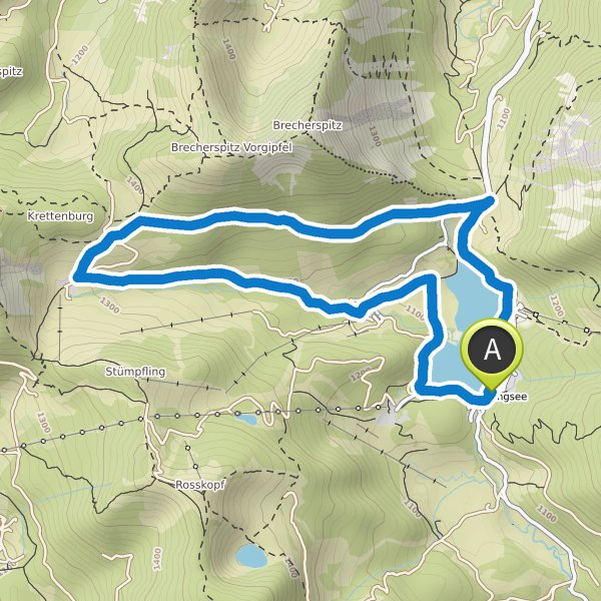
Touren

Planer

Features

Updates

App

Anmelden oder Registrieren

Lade die App herunter

Anmelden oder Registrieren

Claudia

Follower

0

Folgt

0

Folgen

Chronik

hat eine Wanderung geplant

2. August 2023

Dauer

1Std33M

Distanz

5,55km

Geschwindigkeit

3,6km/h

Aufstieg

100m

Abstieg

100m
map_image
Map data © OpenStreetMap-Mitwirkende

hat eine Wanderung geplant

18. Oktober 2022

Dauer

1Std42M

Distanz

6,22km

Geschwindigkeit

3,7km/h

Aufstieg

90m

Abstieg

90m
map_image
Map data © OpenStreetMap-Mitwirkende

hat eine Wanderung geplant

18. Oktober 2022

Dauer

1Std50M

Distanz

6,46km

Geschwindigkeit

3,5km/h

Aufstieg

140m

Abstieg

140m
map_image
Map data © OpenStreetMap-Mitwirkende

hat eine Wanderung geplant

18. Oktober 2022

Dauer

2Std33M

Distanz

9,37km

Geschwindigkeit

3,7km/h

Aufstieg

140m

Abstieg

140m
map_image
Map data © OpenStreetMap-Mitwirkende

hat eine Wanderung geplant

18. Oktober 2022

Dauer

1Std45M

Distanz

5,49km

Geschwindigkeit

3,1km/h

Aufstieg

170m

Abstieg

180m
map_image
Map data © OpenStreetMap-Mitwirkende

hat eine Wanderung geplant

18. Oktober 2022

Dauer

1Std37M

Distanz

5,58km

Geschwindigkeit

3,4km/h

Aufstieg

150m

Abstieg

150m
map_image
Map data © OpenStreetMap-Mitwirkende

hat eine Wanderung geplant

12. September 2022

Dauer

3Std15M

Distanz

12,0km

Geschwindigkeit

3,7km/h

Aufstieg

170m

Abstieg

170m
map_image
Map data © OpenStreetMap-Mitwirkende

hat eine Wanderung geplant

20. Oktober 2021

Dauer

2Std48M

Distanz

9,91km

Geschwindigkeit

3,5km/h

Aufstieg

180m

Abstieg

180m
map_image
Map data © OpenStreetMap-Mitwirkende

hat eine Wanderung geplant

20. Oktober 2021

Dauer

2Std12M

Distanz

7,99km

Geschwindigkeit

3,6km/h

Aufstieg

100m

Abstieg

100m
map_image
Map data © OpenStreetMap-Mitwirkende

hat eine Wanderung geplant

9. Oktober 2021

Dauer

2Std32M

Distanz

8,44km

Geschwindigkeit

3,3km/h

Aufstieg

280m

Abstieg

280m
map_image
Map data © OpenStreetMap-Mitwirkende

hat eine Wanderung geplant

9. Oktober 2021

Dauer

2Std32M

Distanz

8,44km

Geschwindigkeit

3,3km/h

Aufstieg

280m

Abstieg

280m
map_image
Map data © OpenStreetMap-Mitwirkende

hat eine Wanderung geplant

8. Oktober 2021

Dauer

3Std04M

Distanz

8,34km

Geschwindigkeit

2,7km/h

Aufstieg

480m

Abstieg

480m
map_image
Map data © OpenStreetMap-Mitwirkende

und haben eine Wanderung geplant

8. Oktober 2021

Dauer

3Std49M

Distanz

13,4km

Geschwindigkeit

3,5km/h

Aufstieg

300m

Abstieg

300m
map_image
Map data © OpenStreetMap-Mitwirkende

hat eine Wanderung geplant

8. Oktober 2021

Dauer

3Std30M

Distanz

11,5km

Geschwindigkeit

3,3km/h

Aufstieg

400m

Abstieg

400m
map_image
Map data © OpenStreetMap-Mitwirkende

hat eine Wanderung geplant

7. Oktober 2021

Dauer

2Std32M

Distanz

8,44km

Geschwindigkeit

3,3km/h

Aufstieg

280m

Abstieg

280m
map_image
Map data © OpenStreetMap-Mitwirkende
Loading